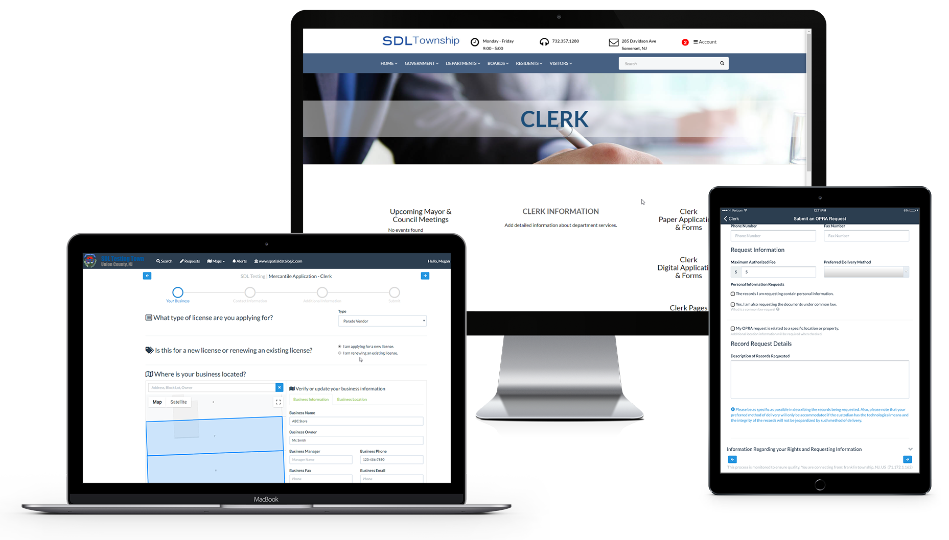
SOMERSET, NJ – Nov 14, 2003 – Berkeley Heights Township (Union County) has selected Spatial Data Logic to generate a parcel map for the municipality. They are also expected to deploy GeoLogic software from SDL in early 2004.
“We believe that SDL’s product suite compliments our overall strategy of integration. It provides us the ability to manage properties seamlessly among departments. Gone are the days of each department operating in a silo”, said Michael Brennan, Network Administrator for the Township.

